Cultural center
CastlePasłęk
Pasłęk Castle
More pictures
Pasłęk Castle (German Preußisch Holland) stands on a hill above the Wąska (Weeske) valley at the north-east edge of the old town of Pasłęk, Warmian-Masurian Voivodeship, historically the Oberland of East Prussia. On the site of a Prussian stronghold (Passlock/Pazlok) the Teutonic Order built a timber-and-earth house (hus Paslok) around 1267. The town beside it received a charter in 1297 from Landmeister Meinhard von Querfurt and the name Hollant after Dutch settlers. The brick castle rose about 1318/1320–1339 as the seat of a procurator under the commander of Elbing; the northern range (about 50 m long) held chapel, refectory and guest rooms. Town walls joined the castle in the fourteenth century. In the Thirteen Years’ War the Elbing commanders resided here after their own castle fell; after the Second Peace of Thorn Pasłęk remained with the Order (exchanged for Sztum).
In 1520/21 Polish and Elbing forces took the castle in the Polish–Teutonic War; King Sigismund I allowed its large-scale demolition. After a fire in 1543 it was rebuilt in Renaissance form: two round corner towers on the medieval north wing, new west and east wings, later adaptations for firearms (1559, 1586, early seventeenth century) under the Hohenzollerns. In 1656 Charles X Gustav of Sweden and Elector Frederick William met here. In the eighteenth and nineteenth centuries it served as store, barracks, from 1699 and through the nineteenth century as a prison (until 1925) and court. In 1945 it burned with the town. Reconstruction was completed in 1972.
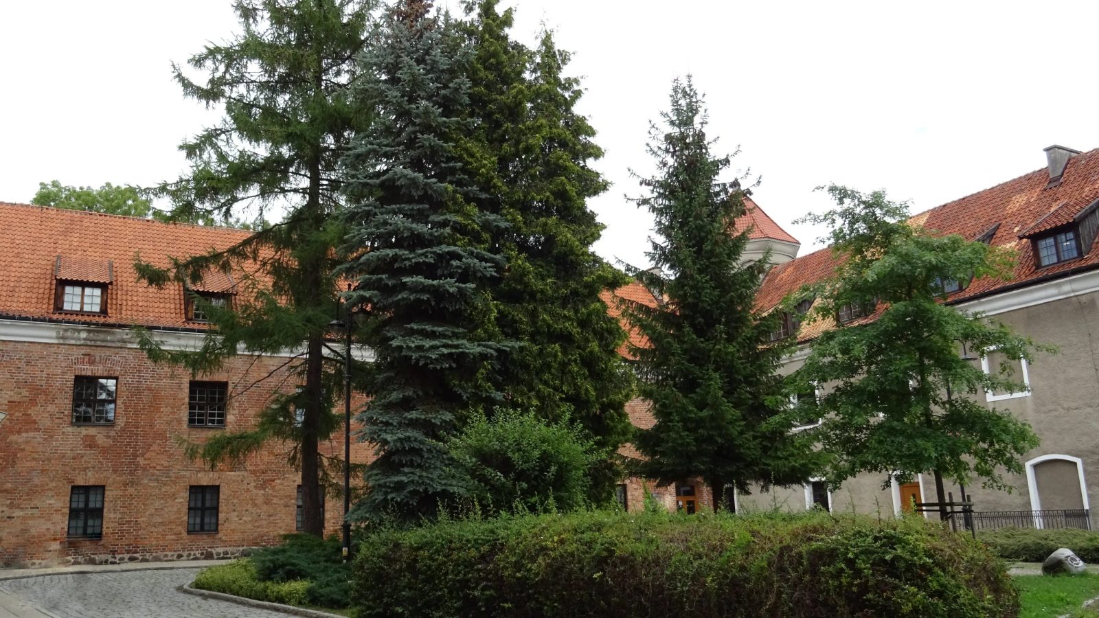
The courtyard now lies some three metres higher than in the Middle Ages; the original ground floor is cellar. Surviving and rebuilt after the war as a three-winged, plastered complex are the north range with blocked loopholes and gate traces, cylindrical towers with conical roofs, and Gothic vaults in the basement. The castle is a registered historic monument (listings 1956 and 1961) and houses the municipal offices, public library and cultural centre. Courtyard and exterior are accessible to a limited extent.
Take Mobile History with you
You are reading this text for free. Premium adds what matters on the road: descriptions read aloud, sites found through your camera, whole regions taken offline.
- Every description, including the ~17,700 Premium sites
- Audio guide: have descriptions read to you on location
- AR finder: see sites through your camera, with distance and bearing
- Unlimited saved sites
14 days free, then from €2.99 a month. Cancel anytime.
Source: Wikipedia · Licence: CC BY-SA 4.0 · Image: Foto: Jörg Heldt (Community)
This description draws on the facts documented in the linked Wikipedia article; Wikipedia content is licensed under CC BY-SA 4.0. Wording and editing: Mobile History.
Location: 54.0667, 19.6593