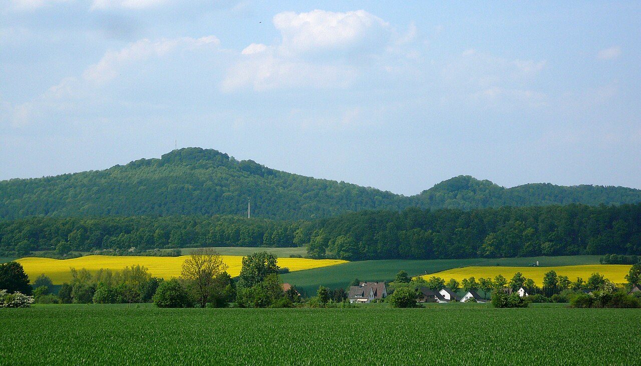
The remains of the castle can be visited
Everstein Castle

Everstein Castle is the ruin of a two-part hilltop castle in the Weserbergland, located on the elevations of Großer and Kleiner Everstein in the Burgberg ridge in the district of Holzminden, Lower Saxony (Germany).
The remains of "Everstein Castle on the Burgberg" are located almost 10 km east-southeast of Polle in the Burgberg ridge, which extends east of the Weser directly north of Bevern. The castle complex consisted of two parts, which were built on the mountains Großer and Kleiner Everstein (345.2 and 305.1 m above sea level) located between Arholzen, Bevern-Lobach and Negenborn.
The "Everstein Castle on the Burgberg" complex is first mentioned in 1226. It was founded at the beginning of the 12th century and was the first ancestral seat of the Counts of Everstein, whose closest castle, Polle, was about 10 km (as the crow flies) away. A documentary mention of castrum Everstein maius in 1265 shows that at that time both the Großer and Kleiner Everstein elevations were each built with castles. The castle, like Homburg, was visible from Amelungsborn Monastery. In 1284, Everstein came into Welf possession, and finally, the castle walls were demolished in 1493 with the consent of Duke Wilhelm by Amelungsborn Monastery.
Both Großer and Kleiner Everstein were built on artificially leveled hilltops and, in addition to the castle walls, were fortified by ramparts and ditches on the steep castle slope. On Großer Everstein, some wall remains are still preserved. Archaeological investigations in 1966 led to the discovery of a gate tower and a residential tower (palas), which were connected by a curtain wall. Remains of curtain walls were also found in other places at the edge of the plateau. Finds from the excavation included spurs, crossbow bolts, and knives. Today, the foundation of a television repeater stands within the castle interior.
An almost square rampart system on the southeast slope of Großer Everstein with leveled and sunken areas inside could indicate an attempt to establish a fortified settlement near the castle. Airborne laser scanning investigations also point to this.
Take Mobile History with you
You are reading this text for free. Premium adds what matters on the road: descriptions read aloud, sites found through your camera, whole regions taken offline.
- Every description, including the ~17,700 Premium sites
- Audio guide: have descriptions read to you on location
- AR finder: see sites through your camera, with distance and bearing
- Unlimited saved sites
14 days free, then from €2.99 a month. Cancel anytime.
Location: 51.8769, 9.5435