CastleGruibingen

Gruibingen Castle

Gruibingen Castle

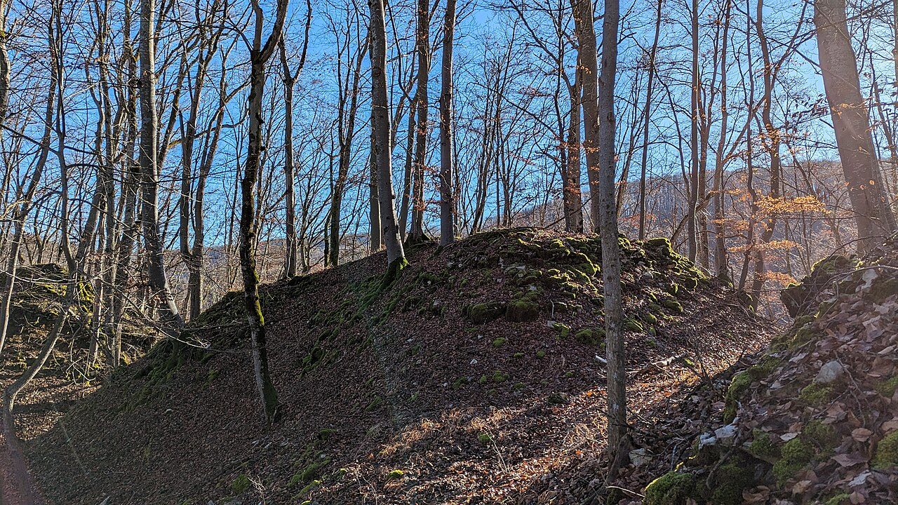
The remains of the castle can be visited

Gruibingen Castle is a vanished spur castle on a 652.1 m above sea level high mountain spur of the Dürrenberg above the village of Mühlhausen im Täle at the confluence of the Hollbach and Fils not far from the municipality of Gruibingen in the Göppingen district in Baden-Württemberg.

A noble family naming themselves after the castle is first mentioned in a document in 1237, and they appear frequently later as well. For example, the lineage of the Lords of Gruibingen is mentioned in 1391 as seneschals of the Counts of Spitzenberg-Helfenstein. The castle itself is not documented; it was probably built during the 13th century and was presumably abandoned in the 14th century.

The castle, extending over several artificially created plateaus, separated by four neck ditches, featured a core castle consisting of several individual buildings, an outer bailey with a shield wall, which was part of a residential tower, and towards the sloping ridge a fifth neck ditch with a rampart. The core castle and outer bailey were separated by a seven-meter-deep section ditch.

Today, the castle site shows only minor remains of ditches, ramparts, and rubble stone walls. The high point 731.7, designated as Burgstall northwest of the former Gruibingen Castle, probably refers to "Vor dem Burgstall" (in front of the castle site) and relates to the Gruibingen castle site; there is no other former castle complex there.

Take Mobile History with you

You are reading this text for free. Premium adds what matters on the road: descriptions read aloud, sites found through your camera, whole regions taken offline.

  • Every description, including the ~17,700 Premium sites
  • Audio guide: have descriptions read to you on location
  • AR finder: see sites through your camera, with distance and bearing
  • Unlimited saved sites

14 days free, then from €2.99 a month. Cancel anytime.

Source: Wikipedia · Licence: CC BY-SA 4.0 · Image: JLaetus / CC BY-SA 4.0 via Wikimedia Commons

This description draws on the facts documented in the linked Wikipedia article; Wikipedia content is licensed under CC BY-SA 4.0. Wording and editing: Mobile History.

Location: 48.5832, 9.6507