The remains of the castle can be visited
CastleEhingen - Erbstetten
St. Ruprecht Castle
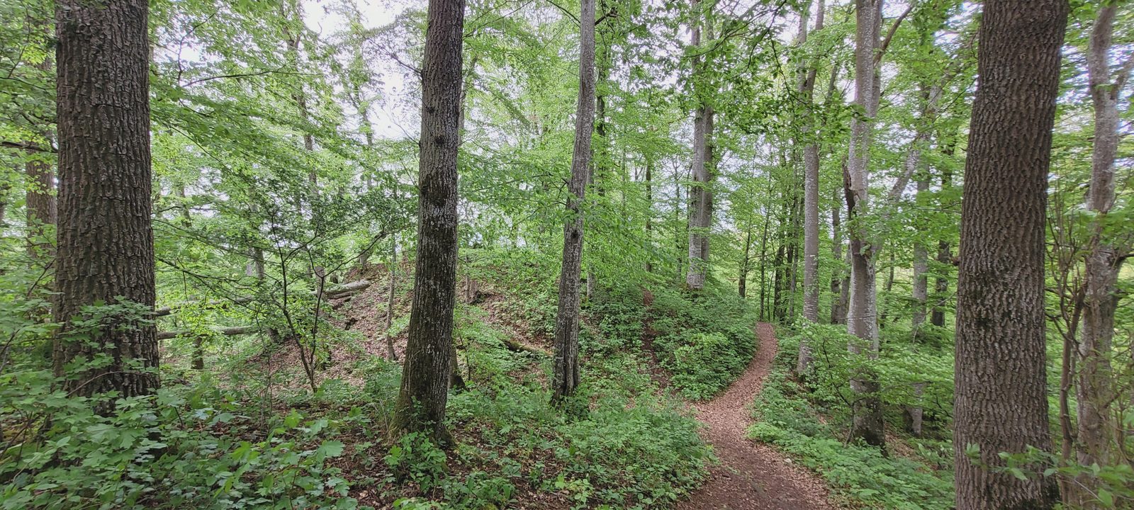
The St. Ruprecht ruin is the ruin of a spur castle on a rocky 603.4 m above sea level high spur at the confluence of the Mariental into the Große Lautertal southeast of the Monsberg castle ruin near the Erbstetten district of the city of Ehingen in the Alb-Donau district in Baden-Württemberg.
History+
No documentary evidence is known to date about the castle, which was founded according to ceramic finds during the second half of the 11th century or somewhat earlier. On March 19, 1422, the designation "St. Ruprecht" was first mentioned in a deed of sale as the name of a nearby parcel of land, "St. Ruprechts Acker", but this was not the name of the castle. The designation St. Ruprecht suggests that the property probably belonged to a church; perhaps after its destruction, a monastic settlement of the St. Trudpert monastery, which is also attested as St. Ruprecht during the 13th century, was erected on the castle grounds. The designation St.
Source: Wikipedia · Licence: CC BY-SA 4.0 · Image: Oliver L. 74 · Wikimedia Commons · CC0
This description is a machine translation of an excerpt from the linked Wikipedia article. The source text was written by its authors, the translation is by Mobile History; like the original it is licensed under CC BY-SA 4.0.
Location: 48.2704, 9.5336