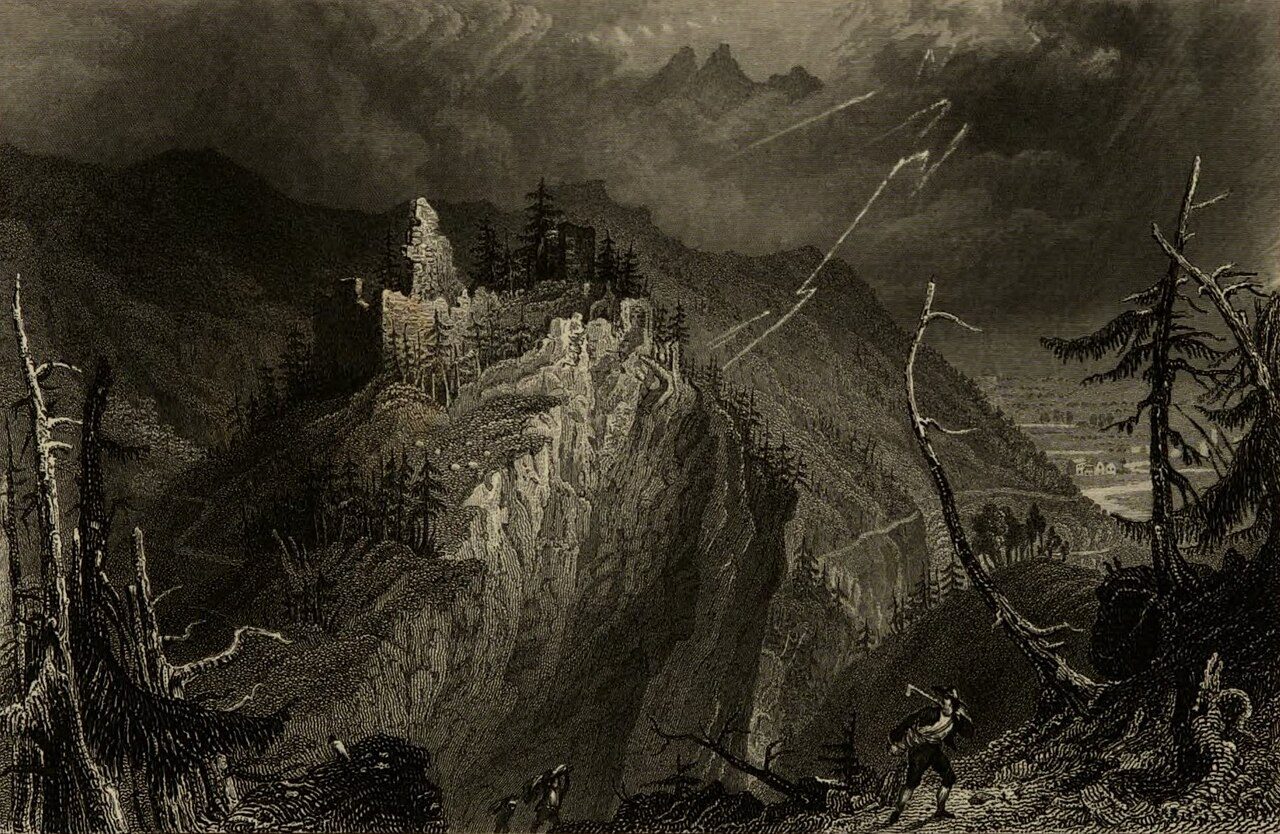
The remains of the castle can be visited
Alt-Starkenberg Castle

The castle ruin Alt-Starkenberg is located in the municipality of Tarrenz in the Imst district of Tyrol.
Alt-Starkenberg Castle is first mentioned in 1217 as the ancestral castle of the Starkenbergs in connection with Georg von Starkenberg. Its construction likely dates to the second half of the 12th century. The castle appears in 1284 and 1290 as a place for issuing documents. From 1328 comes the news that Georg von Starkenberg takes over guardianship for his nephews and is granted sole possession of the castle for ten years. An indulgence letter from 1341 refers to the castle chapel of Alt-Starkenberg, dedicated to Saints George and Leonard. During the Starkenberg Feud of 1422 with Duke Frederick IV, the castle was conquered, destroyed, and never rebuilt.
Only the castle chapel is said to have survived the siege. Its rich relic treasure, donated around 1341, was only transferred to the parish church of Tarrenz in 1447. The iron-clad sacristy door there is also said to have been salvaged from the ruins of Alt-Starkenberg. A bell with a Gothic minuscule inscription in the St. Veit Church of the cemetery and particles of the Holy Cross, which were incorporated into a monstrance donated in 1772 in the Cross Chapel of the parish church, also originate from Alt-Starkenberg. These are said to have been brought from a crusade to Jerusalem by a Starkenberger (possibly Gebhard von Starkenberg in 1215). The indulgence for the Feast of the Exaltation of the Holy Cross at the castle chapel also supports this.
Alt-Starkenberg Castle Ruin Today+
The castle remains lie in a forest 20 minutes northwest of Tarrenz on a rocky spur that juts out towards the Salvesenbach, above the orographically left bank of the Salvesen Gorge. The path to the ruin is not signposted. Only a few wall fragments remain of the former hilltop castle. The approximately 45 m long castle site drops vertically 100 m on its southern narrow side. Access from the north was protected by a 13 m high neck ditch. Behind it, a wall section three meters high is visible. Further back, there is a piece of retaining wall, indicating a keep with at least two meters of wall thickness. At the southern rocky tip lies an acute-angled wall remnant (2.7 m high and 2 m wide), made of roughly worked quarry stones and featuring opus spicatum at half height. The slope on the east side was also built upon, as shown by some low retaining walls. These parts presumably date from around 1400.
Take Mobile History with you
You are reading this text for free. Premium adds what matters on the road: descriptions read aloud, sites found through your camera, whole regions taken offline.
- Every description, including the ~17,700 Premium sites
- Audio guide: have descriptions read to you on location
- AR finder: see sites through your camera, with distance and bearing
- Unlimited saved sites
14 days free, then from €2.99 a month. Cancel anytime.
Source: Wikipedia · Licence: CC BY-SA 4.0 · Image: Johanna von Isser Großrubatscher / Public domain via Wikimedia Commons
This description draws on the facts documented in the linked Wikipedia article; Wikipedia content is licensed under CC BY-SA 4.0. Wording and editing: Mobile History.
Location: 47.2706, 10.7530