The remains of the castle can be visited
CastleSpringe-Bennigsen
Bennigsen Castle
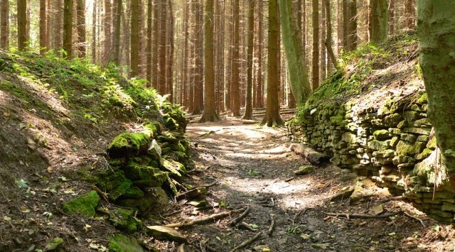
The early medieval ring-and-mound fortification Bennigsen Castle Ruin, also known as Meinser Burg, is situated on a ridge on the eastern slope of the Deister in the Hanover region. It likely served as a refuge castle.
History+
Based on archaeological findings, particularly ceramic shards from a 1937 excavation, the complex is dated to the 10th century. Its location near ancient trade routes such as the Königsweg and the Hameln–Hannover military road underscores its importance. The castle's gates were oriented to the east, towards the military road connecting the Leine and Weser valleys. The name “Meinser Burg” appears on maps from the 16th to 18th centuries, while its current name is attributed to its proximity to the village of Bennigsen.
Source: Wikipedia · Licence: CC BY-SA 4.0 · Image: http://de.wikipedia.org/wiki/Bennigser_Burg#mediaviewer/Datei:Bennigser_Burg_Torgang.jpg
This description draws on the facts documented in the linked Wikipedia article; Wikipedia content is licensed under CC BY-SA 4.0. Wording and editing: Mobile History.
Location: 52.2303, 9.6344