The remains of the Castle can be visited
CastleHaschbach am Remigiusberg
Michelsburg Castle
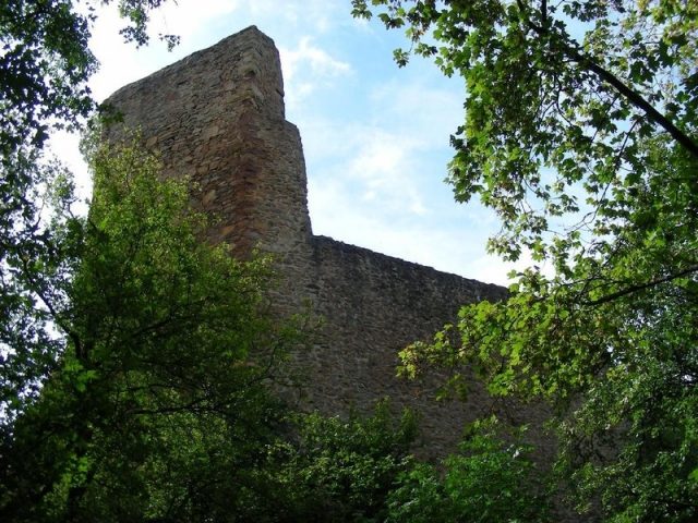
The Michelsburg, also called St. Michaelsburg or Remigiusburg, is the ruin of a hilltop castle in the "Remigiusland" on the 368 m above sea level high summit of the Remigiusberg, 368 meters above normal zero high above the municipality of Haschbach am Remigiusberg in the district of Kusel in Rhineland-Palatinate.
The origin of the summit castle on the Remigiusberg is presumed to be before 1100. The first documented mention is a charter from Mainz Archbishop Adalbert I dated October 8, 1127. Monks bought the castle from robber knights, tore it down, and erected a Benedictine priory in its place.
In 1260, Count Heinrich von Zweibrücken rebuilt the castle as a wooden fortress, which was later converted to stone, expanded, and had a chapel (dedicated to St. Michael) built inside. It served as the residence for various members of the 2nd Veldenz line of counts until 1444, and after their extinction, it was a fief of the Knights Blick von Lichtenberg until 1524.
Source: Wikipedia · Licence: CC BY-SA 4.0 · Image: http://www.wehrbauten.de/thread.php?threadid=1347
This description draws on the facts documented in the linked Wikipedia article; Wikipedia content is licensed under CC BY-SA 4.0. Wording and editing: Mobile History.
Location: 49.5215, 7.4400