The Fort can be visited
FortressPorquerolles
Fort du Grand Langoustier
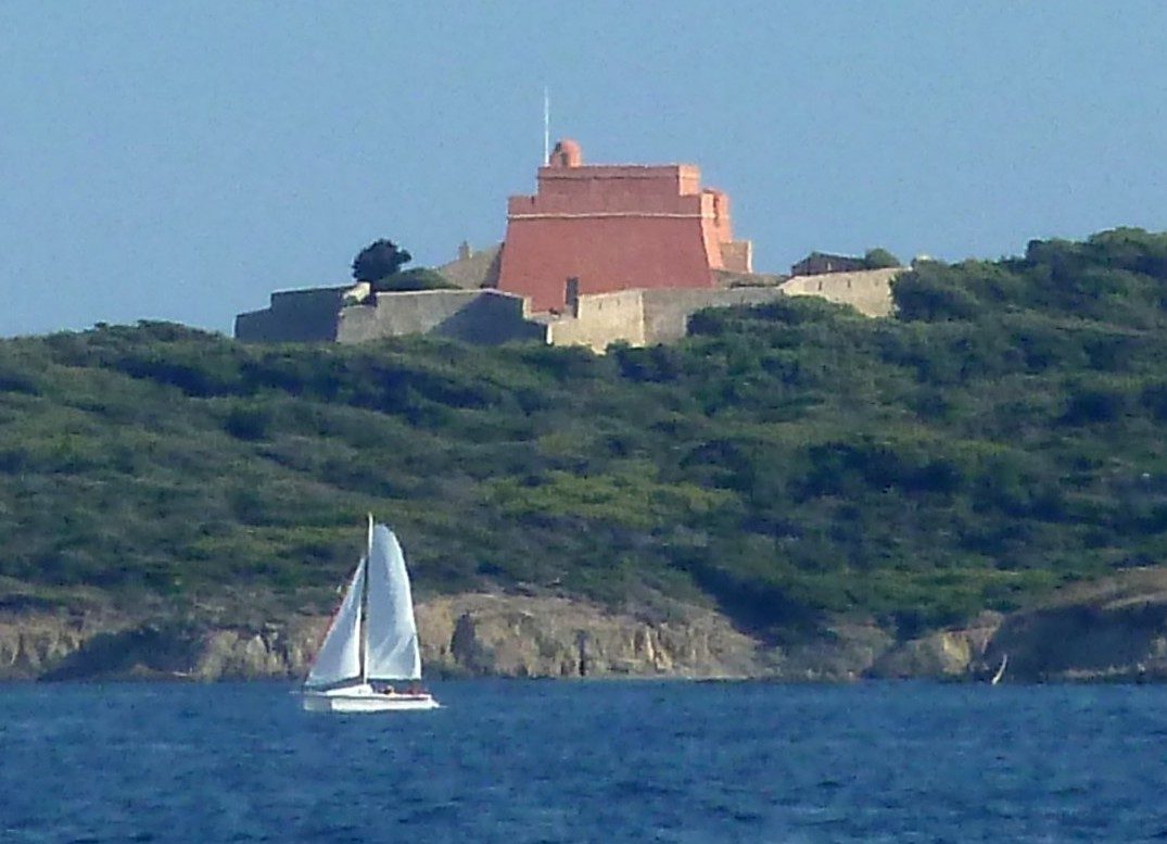
The Fort du Grand Langoustier is a French military structure located on the island of Porquerolles (Var) which was built in the 17th century and listed in the supplementary inventory of historical monuments in 1989. Restored between 2006 and 2010, it is now open to visitors only for the European Heritage Days.
Location+
The fort is located at the western end of Porquerolles island, on the Pointe du Grand Langoustier. It overlooks the cove of Port Fay and faces the pier of Tour Fondue on the Giens peninsula in Hyères. The islands of Petit Langoustier, Grand Ribaud, and Petit Ribaud are interspersed between them. The fort is approximately 3.4 km from the mainland, built on soft gray or black argillaceous shales mixed with quartz flakes.
Description+
The fort consists of a square artillery tower of pyramidal shape, built on two levels plus a terrace. The ground floor, which served as a powder magazine, as well as the first level, are vaulted. A spiral staircase connects the floor to the terrace. The peripheral wall-walk is bordered by a parapet pierced with rifle loopholes and features a machicolation that ensures vertical defense of the entrance. It is equipped with a polygonal enclosure pierced with rifle loopholes. In 1793, four platforms for large-caliber cannons were added.
History+
The construction of the fort took place between 1633 and 1640, attributed to Richelieu. The English occupied the island in 1793, but the Grand Langoustier was relatively spared. In 1810, as part of the continental blockade and under the impetus of Napoleon I, a direct access corridor to the lower floor of the tower (NW face) was opened for servicing the powder magazine. The armament was then very insufficient: it consisted of two 36-pounder cannons and two 12-pounder cannons served by 15 gunners and 50 infantrymen. The "Avancée et du Sud-ouest" battery was therefore added nearby, with two 36-pounder cannons and two 12-pounder cannons. In 1815, after the fall of the Empire, the work was put on hold. It was in 1841 that the Joint Coastal Armament Commission proposed an armament of two 36-pounder cannons and two howitzers served by 20 men at the Avancée battery, with a guardhouse.
Source: Wikipedia · Licence: CC BY-SA 4.0 · Image: Bernard Delpeuch / CC BY-SA 3.0 via Wikimedia Commons
This description draws on the facts documented in the linked Wikipedia article; Wikipedia content is licensed under CC BY-SA 4.0. Wording and editing: Mobile History.
Location: 42.9989, 6.1644