Abbey
MonasteryDingolfing
Franziskaner Abbey
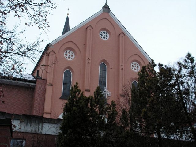
The Franciscan Monastery in Dingolfing, Bavaria, was a historic monastic settlement with a long and rich history. Originally located in the northeast of the Upper Town, it reflects the region's historical influence by religious communities.
History+
The citizens of Dingolfing founded the monastery in 1642, initially as a hospice. It developed into an independent convent dedicated to Saint Oswald. Between 1680 and 1682, a new monastery church was constructed and consecrated on August 6, 1682. Contemporary descriptions and plans, attributed to Antonio Riva, depict a stately building with a three-sided closed choir. During the secularization in Bavaria, the monastery was dissolved in 1802. The monastery church was demolished in 1804, while most of the other buildings remained and were later converted into private residences and a brewery inn. The choir stalls from the former monastery church found a new home in Dingolfing's branch church of St. Anton.
Source: Wikipedia · Licence: CC BY-SA 4.0
This description draws on the facts documented in the linked Wikipedia article; Wikipedia content is licensed under CC BY-SA 4.0. Wording and editing: Mobile History.
Location: 48.6231, 12.4911