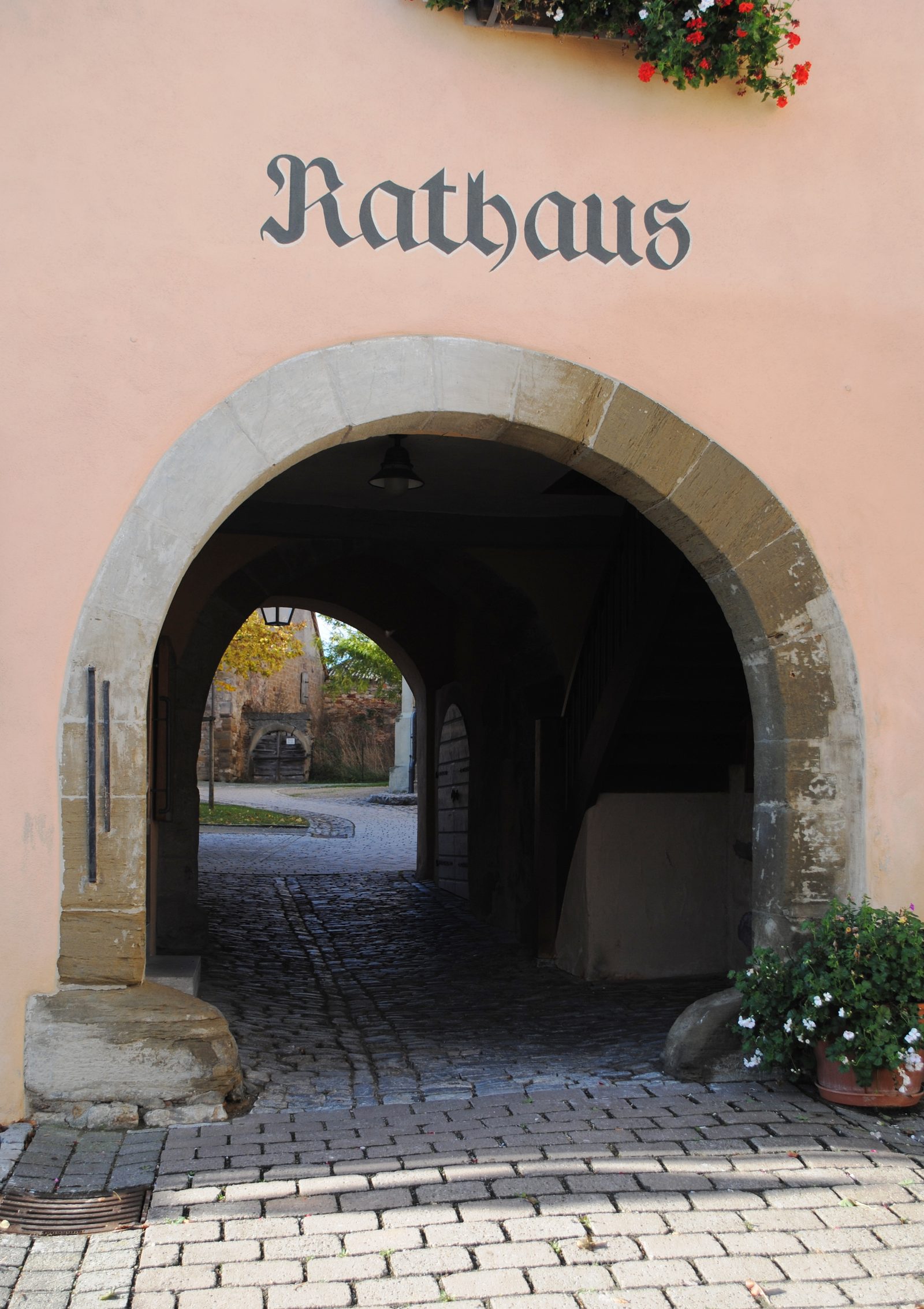
City Hall
ChurchWillanzheim
Kirchenburg Willanzheim (Church Castle)
The fortified churchyard of Willanzheim encompasses the fortified areas of the churchyard around the Catholic parish church of St. Martin in the Lower Franconian town of Willanzheim. This includes parts of Hauptstraße, Marktplatz, Kirchstraße, and Pfarrgasse.
The fortified churchyard is located in the center of the market town of Willanzheim. Situated on a gentle slope at an elevation of about 250 m above sea level, it towers over the village by up to 20 m. The horseshoe-shaped complex of the Gaden fortification now covers an area of 3893 m2. From the 14th century onwards, the village was subject to changing lords, which resulted in frequent wars and looting. This also explains the former village fortification with a moat and hedge. The fortifications are evidenced by archaeological findings from the Bavarian State Office for Monument Preservation.
History+
The history of the fortified churchyard is closely linked to St. Martin's Church in Willanzheim. This church was gifted to the Bishop of Würzburg in 742, and the churchyard was probably already fortified at that time. However, the oldest surviving parts of the fortified churchyard date back to the 14th century. At that time, the church tower was also built to get a better overview of the surrounding areas. The fortified churchyard could be accessed through two gates, of which only the eastern one remains. A fortification of the churchyard is first mentioned in 1303. In the 16th century, the fortification was extensively renewed. During the Thirty Years' War, the church and its surrounding fortifications were severely devastated. Initially, the church was repaired until 1653, before attention turned to the walls and Gaden of the fortified churchyard. In the 18th century, the castle acquired the appearance that is still largely visible today. With changing political and military circumstances, the fortified churchyard could no longer fulfill its purpose in the 19th century and fell into disrepair. For a time, the cellars of the Gaden were used as storage rooms. The Second World War caused further damage to the decaying Gaden fortification. On April 5, 1945, there was tank shelling and a low-level attack. Large parts of the castle were destroyed. Unlike the church, which was rebuilt immediately afterwards, the fortified churchyard was left untouched. It was not until 1998–2003 that it was restored, so that today the church and fortified churchyard form the actual center of the village. The Bavarian State Office for Monument Preservation classifies the fortified churchyard as a monument under number D-6-75-179-2.
Description+
The churchyard fortification runs in a horseshoe shape around the church. This shape came about because the fortification is completely missing to the north of the church, creating a square. Gaden surround the entire, preserved churchyard, while remnants of walls are only visible in the south, west, and east.
Church+
St. Martin's Church forms the center of the churchyard fortification. It is not oriented to the east; its choir faces south. The show side of the church is to the north. This was probably also a reason for the opening of the fortification on this side.
Source: Wikipedia · Licence: CC BY-SA 4.0 · Image: Monandowitsch · Wikimedia Commons · CC BY-SA 3.0
This description is a machine translation of an excerpt from the linked Wikipedia article. The source text was written by its authors, the translation is by Mobile History; like the original it is licensed under CC BY-SA 4.0.
Location: 49.6806, 10.2319