The remains of the Roman fort can be visited.
Ancient BuildingAnhausen
Roman Castle Anhausen
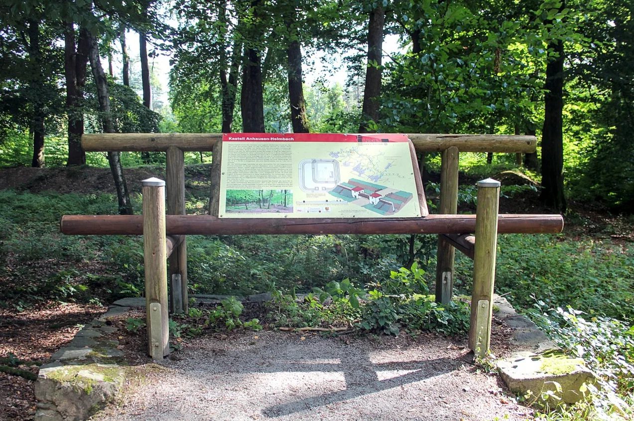
The small fort of Anhausen was a Roman fort of the Upper Germanic Limes, which achieved UNESCO World Heritage status in 2005. The current archaeological monument is located in the forests southwest of the present-day municipality of Anhausen, which belongs to the Verbandsgemeinde Rengsdorf-Waldbreitbach in the Neuwied district of Rhineland-Palatinate.
Location and Research History+
The small fort of Anhausen is located on a height between the Gladbacher and Heimbacher forests, southwest of the present-day village of Anhausen in the Neuwied area. It lies here to the east above the pass of Landesstraße 258, the Dierdorfer Straße, which leads to Gladbach and further to Neuwied. At this fort site, the Limes reaches its northernmost and highest point in the course of the arc it forms around the Neuwied Basin. In ancient times, the small fort here served to monitor several roads that crossed the Limes in this area, utilizing the pass. The fort site was first investigated and described in 1893 by the archaeologist Heinrich Jacobi (1866–1946). Further excavations by the Imperial Limes Commission took place in August 1898 and January 1899 to clarify the initially not entirely clear construction history of the camp.
Findings+
The Imperial Limes Commission had still assumed that the Anhausen military camp was a small fort originally formed by two different structures – an outer and an inner fort – which were built at the same time. Already the provincial Roman archaeologist Dietwulf Baatz (1928–2021) had doubted this view and wrote that "in the southwest corner of the larger, older defensive structure" ... "a smaller fort" was built later. During a re-excavation in 2008 as part of the inventory documentation for UNESCO protection, Baatz's hypothesis was confirmed. The defensive wall of the outer camp, with side lengths of 43.20 by 39.30 meters, occupied an area of approximately 0.17 hectares. The wall had a thickness of 1.72 to 1.80 meters, had rounded corners, and featured only a single gate, flanked by two projecting defensive towers, oriented to the north, towards the Limes. A pointed ditch served as an obstacle to approach. Inside the outer fort, traces of barracks were found, primarily in the northwestern area. The interior buildings were likely made mainly of wood.
Source: Wikipedia · Licence: CC BY-SA 4.0 · Image: Von LigaDue - Eigenes Werk, CC BY-SA 4.0, https://commons.wikimedia.org/w/index.php?curid=174461052
This description is a machine translation of an excerpt from the linked Wikipedia article. The source text was written by its authors, the translation is by Mobile History; like the original it is licensed under CC BY-SA 4.0.
Location: 50.4818, 7.5381