The remains of the Roman fort can be visited.
Ancient BuildingMichelstadt - Würzberg
Roman fort Würzberg
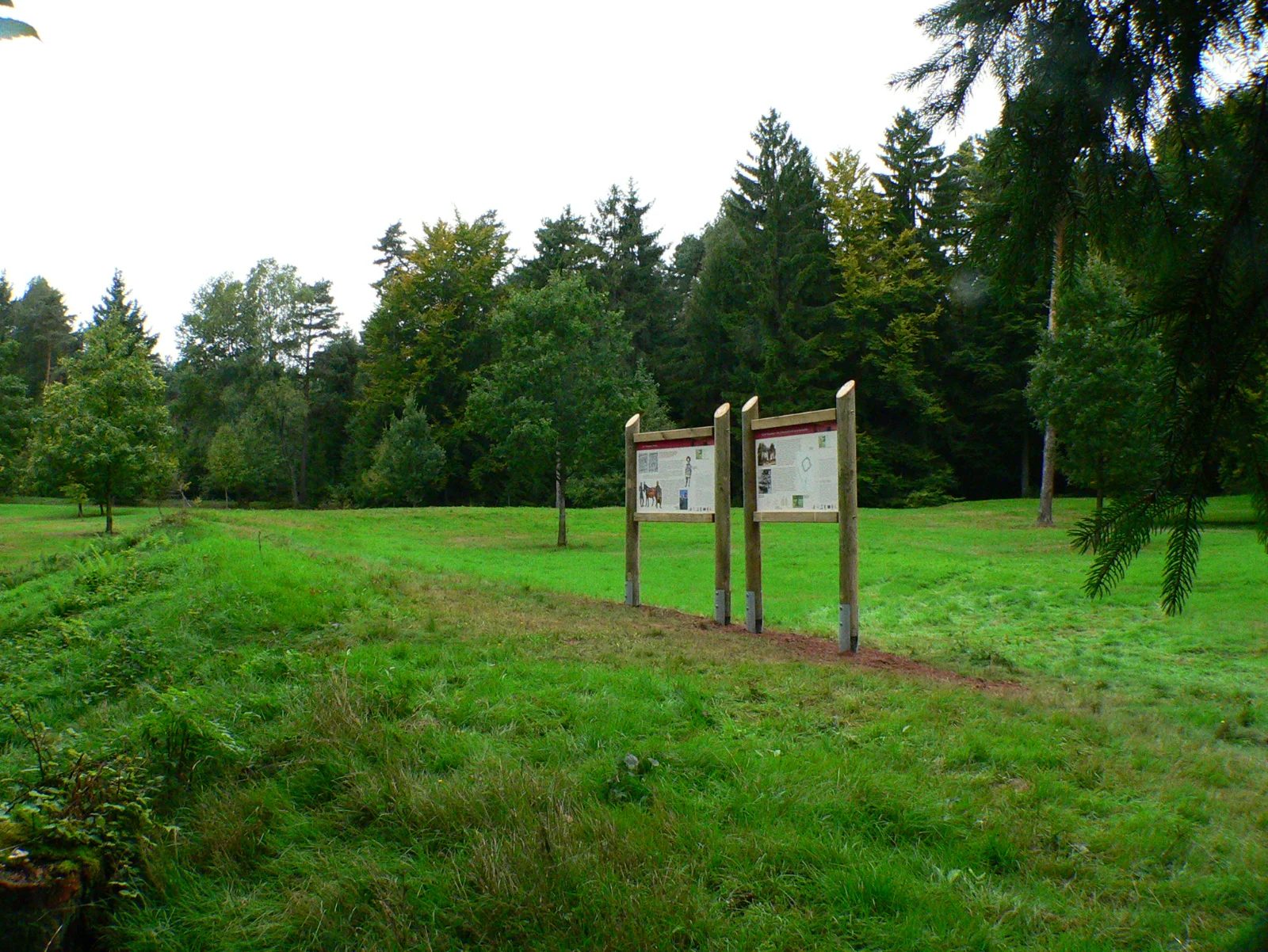
The Würzberg fort (in older literature also Hainhäusel fort or Hainhaus fort) was a Roman Numerus fort of the older Odenwald line of the Neckar-Odenwald Limes. The present-day archaeological monument is located south of Würzberg, a somewhat remote district of Michelstadt in the Hessian Odenwaldkreis.
The Würzberg fort archaeological monument is located about two and a half kilometers south of the village of the same name, in a clearing on the northern edge of the forest that stretches between Würzberg and Bullau, the next village to the south. Topographically, it is situated at an altitude of around 525 meters on a ridge running from north to south through the Odenwald. The terrain on which the archaeological monument is directly located is gently sloped in two directions. It drops by about one meter each from the former west to the east side of the fort, as well as from its north to its south side.
Research History+
It is possible that the fort site is identical with the Wllineburch mentioned in a description of the Michelstadt Mark from 819, or the destructa Vullonoburg referred to in a document about the Lorsch royal hunting ban in 1012. A first reliable description dates from 1736. At the beginning of the 19th century, the fort was investigated by Johann Friedrich Knapp (1776–1848) on behalf of Count Franz I zu Erbach-Erbach (1754–1823) using the methods of the time. The first scientific excavations were carried out in 1895 by the Imperial Limes Commission under the local excavation direction of Friedrich Kofler. In 1963, a further archaeological investigation followed by the Saalburg Museum under the direction of Dietwulf Baatz (1928–2021). These excavations and the resulting publication, together with the excavations in the neighboring Hesselbach fort, were groundbreaking and enabled analogous reconstructions of other Numerus forts of the Odenwald Limes.
The Würzberg fort is considered one of the best-preserved Numerus forts of the Odenwald Limes. The contours of the fort's circumvallation are still clearly visible today in the undeveloped area. The foundations of the fort bath and parts of the rising masonry are preserved, thus conveying a comprehensive impression of the structure of such a building.
Findings+
Fort+
The fort area extends over an area of approximately 6,000 square meters, corresponding to the typical size of a Numerus fort in the Odenwald. The circumvallation was in the form of an irregular quadrangle. The praetorial front (front side) measured 72.03 m, the length of the rear front was 74.10 m. The wall on the left, northern side was 81.03 m, and on the right, southern side 80.63 m long. The thickness of the foundation was 1.25 m, that of the rising masonry 90 cm to 95 cm. The circumvallation was equipped with a total of four entrances. The main gate (Porta praetoria) was oriented towards the Limes. The rear camp gate (Porta decumana) existed only in the form of a small postern gate, which was probably only used in the first construction phase and later walled up. The rounded corners of the wall were not provided with defensive towers. While Kofler had assumed that the gates also had no defensive towers, Baatz concluded that both the Porta praetoria and the Porta principalis sinistra (left side gate) and the Porta principalis dextra (right side gate) probably had gate towers analogous to the Hesselbach fort, but demanded further excavations for final clarification. In front of the circumvallation, following a 50 to 80 cm wide berm, was a roughly six-meter-wide ditch (Fossa), whose depth only reached one meter below the level of the berm. It was executed in the form of a so-called Fossa punica, meaning: the ditch wall facing the enemy was significantly steeper than the one facing the camp.
Source: Wikipedia · Licence: CC BY-SA 4.0 · Image: Von Presse03 - Eigenes Werk, CC BY-SA 3.0, https://commons.wikimedia.org/w/index.php?curid=4807252
This description is a machine translation of an excerpt from the linked Wikipedia article. The source text was written by its authors, the translation is by Mobile History; like the original it is licensed under CC BY-SA 4.0.
Location: 49.6342, 9.0753