The remains of the Castle can be visited
CastleWinkels
Eigenburg Castle (Ruin) (Winkels)
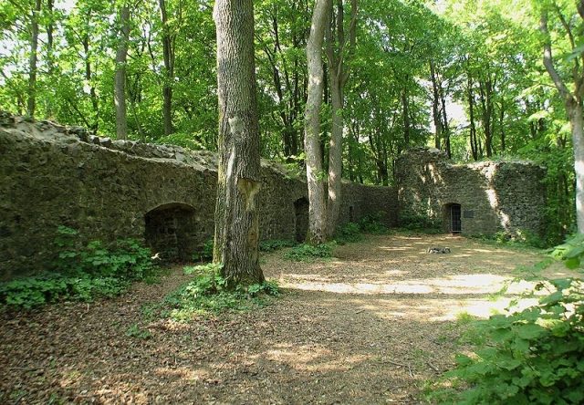
The Eigenburg ruin, also known as Maienburg, is a castle complex on a basalt cone near Winkels in the Hessian district of Limburg-Weilburg. It was built to protect the Calenberger Cent.
History+
The first documented mention of Eigenberg Castle occurred in 1331. It was built at the beginning of the 14th century under Count Johann von Nassau-Dillenburg and granted as a male fief to Ludwig von Mundersbach. After the Mundersbach family died out in 1600 with the death of Daniel III. von Mundersbach, the castle reverted to the House of Nassau-Dillenburg. From 1608, the complex was pledged to Burkhard von Waldmannshausen, repaired, and inhabited until 1612. In 1620, Waldmannshausen's heirs ceded the castle to Johann Ludwig von Nassau-Hadamar, who assigned it to the Mengerskirchen office. Subsequently, the castle was no longer used and gradually fell into disrepair. An associated manor farm was leased until 1806 and demolished in 1818.
Source: Wikipedia · Licence: CC BY-SA 4.0
This description draws on the facts documented in the linked Wikipedia article; Wikipedia content is licensed under CC BY-SA 4.0. Wording and editing: Mobile History.
Location: 50.5558, 8.1707