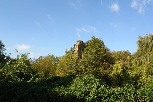
The remains of the Castle can be visited
Kaster Castle (Ruin) (Kaster)

At the time when the Archbishop of Cologne, Philipp I von Heinsberg, began his territorial policy by acquiring castles on the Lower Rhine, in 1148, Caster Castle belonged to a nobleman who called himself Heinrich von Caster after his castle. It was located at the crossing of the Erft and an important medieval road from Cologne to Jülich. Unlike Lechenich in the vicinity, the castle stood on a small hill, surrounded by the Erft and a diverted arm, the Kellnerey-Graben. The settlement followed later. In the 13th century, the castle came into the possession of the Lords of Jülich, the rival neighbors of the Archbishops of Cologne, and temporarily became the seat of a collateral line of the comital house and later dukes (Peace of Pingsheim). The current castle ruin north of the town is the remnant of the complex newly built by the Counts of Jülich in 1278. From 1328 to 1337, the castle was the dower house of Elisabeth von Brabant, the wife of Gottfried von Kaster. In 1328, Count Gerhard VI von Jülich granted Kaster town rights. In 1648, the main castle was destroyed after being conquered by imperial troops.
Afterward, the former outer bailey, the economic court of the former castle, which was incorporated into the city wall, served as the seat of the rent master appointed by the liege lord for the Kaster office, who was therefore called the "Kellner" (steward). Due to this function, the building was referred to as the Kellnerey.
Take Mobile History with you
You are reading this text for free. Premium adds what matters on the road: descriptions read aloud, sites found through your camera, whole regions taken offline.
- Every description, including the ~17,700 Premium sites
- Audio guide: have descriptions read to you on location
- AR finder: see sites through your camera, with distance and bearing
- Unlimited saved sites
14 days free, then from €2.99 a month. Cancel anytime.
Source: Wikipedia · Licence: CC BY-SA 4.0
This description draws on the facts documented in the linked Wikipedia article; Wikipedia content is licensed under CC BY-SA 4.0. Wording and editing: Mobile History.
Location: 51.0113, 6.5567