The remains of the Castle can be visited
CastleKollnburg
Kollnburg Castle (Ruin)
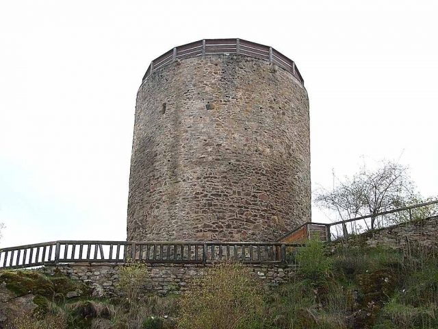
In the municipality of Kollnburg in the Regen district, Bavaria, the Kollnburg ruin stands at approximately 638 meters above sea level. The site is now freely accessible.
History+
The first documented mention of Kollnburg Castle dates back to 1153, then under the name "Chalnberch". It is not certain whether the Lords of Kalmberg began construction as early as the 11th century. Between 1363 and 1472, the castle was owned by the Lords of Nußberg, who served as ministeriales to the Counts of Bogen. During the Böcklerkrieg, an uprising of the Bavarian Forest knights against Duke Albrecht IV of Bavaria from 1468 to 1469, the castle was set on fire. After its reconstruction, it suffered further destruction in the Thirty Years' War. In the 18th century, the decaying complex was finally abandoned. The Hofmark Kollnburg changed hands several times until 1816, before the entire property was auctioned off in 1817.
Source: Wikipedia · Licence: CC BY-SA 4.0
This description draws on the facts documented in the linked Wikipedia article; Wikipedia content is licensed under CC BY-SA 4.0. Wording and editing: Mobile History.
Location: 49.0477, 12.8602