RuinMettendorf

Liebeneck Castle (Ruin)

Liebeneck Castle (Ruin)

The remains of the Castle can be visited

Liebeneck Castle stood in the Schwarzach Valley near the present-day Greding district of Mettendorf in the Middle Franconian district of Roth in Bavaria. The castle ruin Liebeneck is located 650 meters south-southwest of Mettendorf above the Schwarzach Valley at an altitude of about 450 meters, halfway up the slope.

The small castle was built by the Absbergers, with the first documentary mention dating back to 1346. Knight Gottfried (Götz) von Absberg called himself "ze Liebenekke" until 1351. His son Heinrich "von Rannburk" (Rumburg) had to enfeoff the castle to Count Palatine Ruprecht I in 1377 because he had attacked Seligenporten Monastery; the Rumburg line of the Absbergers had their burial place in this Cistercian nunnery until a dispute arose. In 1388, Heinrich again laid claim to the castle. In 1396/97, Hans Pollanter the Elder, perhaps Heinrich's son-in-law, lived there. In 1416, the Sulzbach regional court decided that the fortress belonged to Count Palatine Johann von Neumarkt, as Knight Hans von Absberg had not renewed the fief in time. Two years later, the heirs of Knight Hans sold the village of Mettendorf to the Nuremberg citizen Kunz Flurheim, while Count Palatine Johann enfeoffed Liebeneck Castle to the Marshals of Eibwang. The list of subsequent owners includes the Kemnater, and in the 16th century, the Rauscher, Pirkenfels, Perlein, Gluck, and Köller families.

In 1570, Elector Friedrich III of the Palatinate sold the castle to the Prince-Bishopric of Eichstätt. Subsequently, a bishop's forester resided there. The castle gradually fell into disrepair; perhaps it was also affected when the nearby village was almost completely burned down during the Thirty Years' War around 1632/34.

On September 15, 1727, two "miraculous images" were brought from the castle to the church of St. John in Mettendorf, initiating pilgrimages to this church.

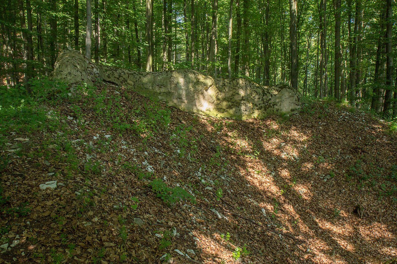
After the secularization (1802), the castle was still roofed in 1827. However, in 1847, the stone material was used for the substructure of the district road. Today, only a wall section of the enceinte, about four meters long and seven meters high, remains.

Description+

It was a tower castle, whose trapezoidal enceinte was separated by a moat from the higher rising valley slope.

Take Mobile History with you

You are reading this text for free. Premium adds what matters on the road: descriptions read aloud, sites found through your camera, whole regions taken offline.

  • Every description, including the ~17,700 Premium sites
  • Audio guide: have descriptions read to you on location
  • AR finder: see sites through your camera, with distance and bearing
  • Unlimited saved sites

14 days free, then from €2.99 a month. Cancel anytime.

Source: Wikipedia · Licence: CC BY-SA 4.0 · Image: Sven-121 / CC0 via Wikimedia Commons

This description draws on the facts documented in the linked Wikipedia article; Wikipedia content is licensed under CC BY-SA 4.0. Wording and editing: Mobile History.

Location: 49.0243, 11.3655