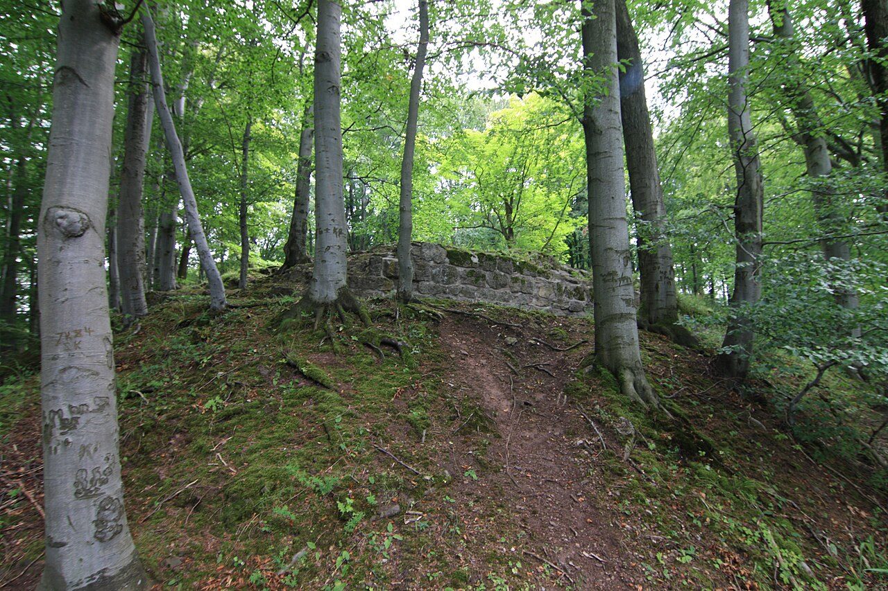
The remains of the Castle can be visited
Raubschloss (Ruin) (Dörrberg)

The course of the medieval trade route near Geschwenda was crucial for the establishment of the castle. Numerous hollow ways mark the ascent of this important trade route on the eastern slope of the Arlesberg, about 900 m away. Its course was (according to Gerbing): Arnstadt – Plaue – Geschwenda – ascent on the Arlesberg – Güldene Brücke – Rennsteig, then – descent to Goldlauter and Suhl. A second road ran from Arnstadt via Liebenstein, Gräfenroda, Waldsberg, Löffelbühl and Oberhof to Suhl.
Probably around 1150, the Counts of Käfernburg had the small castle complex built on the northern edge of the Thuringian Forest. During the numerous battles in the 13th century, the castle repeatedly fell into the possession of robber knights, who caused great damage to Erfurt's trade traffic. In the years 1290 and 1343, the castle was besieged and finally completely destroyed.
Mining Attempt
At the beginning of the 17th century, the forests around the castle were visited by miners who had previously established mines on the western slope of the Arlesberg. It was hoped to extract copper and silver ores here as well. In 1606, Barthel Drachstedt, a mining entrepreneur from Ilmenau, acquired the concession for the mining area Alte Burg and the Arlesberg. In the following five years, this area attracted numerous investors, but in vain: after deducting all revenues, a loss of over 13,000 guilders was recorded for the constructed adits, shafts, hydraulic structures and the construction of stamp mills, smelters and accommodations.
Excavations
Forest master Carl Brückner led the first excavations in the Alteburg area from 1905-1909. He determined its structure and external dimensions. The castle was a rectangular complex and had an area of 65 x 50 m. In the middle was a draw well carved out of the rock, measuring approx. 1.5 m x 1.0 m, whose estimated depth is said to be about 30 m; however, a mining shaft would also be conceivable. The lower parts of the castle's masonry consisted of the locally available limestone, the upper floors of sandstones from the surrounding area.
Today, a reconstructed section of the wall can be visited at the excavation site.
Status+
The castle site is a protected archaeological monument. The relevant area is used for forestry.
Tradition+
Several legends surround the robber castle. It is said that the castellan and his daughter Katharina Anna were once driven out by the robber knights.
Take Mobile History with you
You are reading this text for free. Premium adds what matters on the road: descriptions read aloud, sites found through your camera, whole regions taken offline.
- Every description, including the ~17,700 Premium sites
- Audio guide: have descriptions read to you on location
- AR finder: see sites through your camera, with distance and bearing
- Unlimited saved sites
14 days free, then from €2.99 a month. Cancel anytime.
Source: Wikipedia · Licence: CC BY-SA 4.0 · Image: Uwe-Chico / CC BY-SA 4.0 via Wikimedia Commons
This description draws on the facts documented in the linked Wikipedia article; Wikipedia content is licensed under CC BY-SA 4.0. Wording and editing: Mobile History.
Location: 50.7176, 10.7916