The remains of the roman Castle can be visited
Ancient BuildingWeitersburg
Roman fort Ferbach
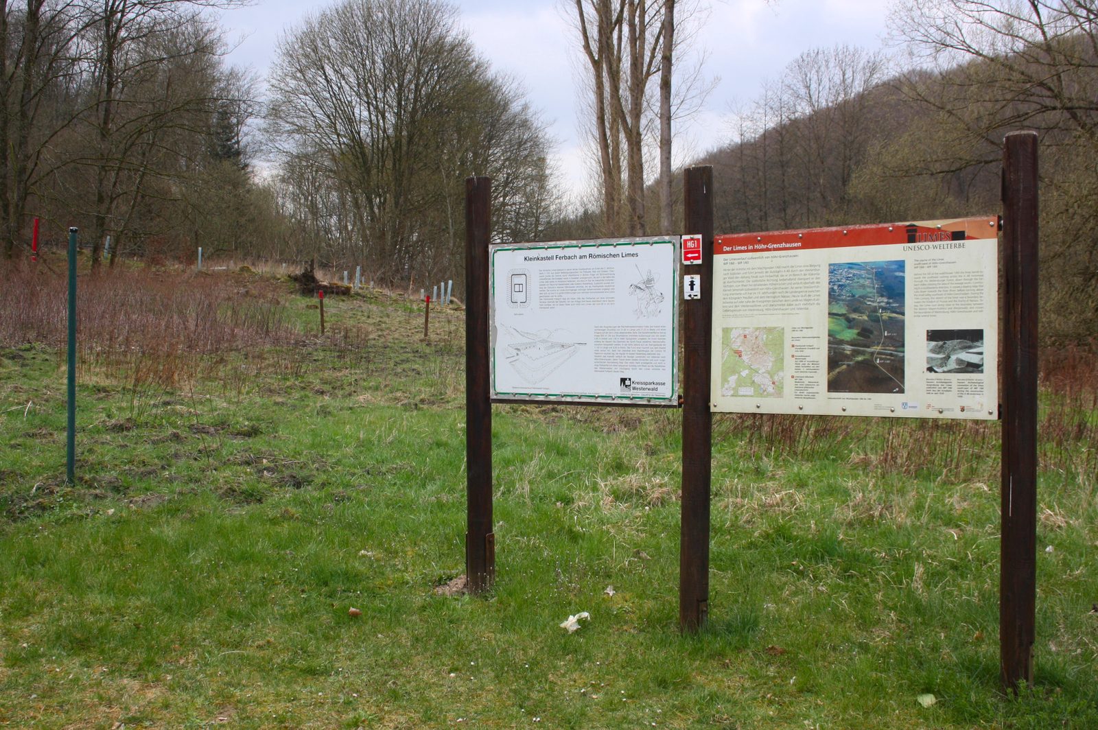
The small fort of Ferbach (also appearing in older literature with the spelling Kastell Fehrbach) was a Roman fort of the Upper Germanic Limes, which gained UNESCO World Heritage status in 2005. The current archaeological monument is located on the border at the southeastern edge of the present-day city of Höhr-Grenzhausen in the Westerwald district of Rhineland-Palatinate. With most of its area, it is already located in the territory of the municipality of Weitersburg in the Mayen-Koblenz district. Today, the Ferbach fortification lies in a designated archaeological protection area. Above ground, apart from minor deformations from past excavation activities, no traces are visible after the findings from 1894 were covered with earth again. However, the corners and the gate of the fort have been marked with posts, and an information board points to the significance of the site.
Location+
In today's local and landscape setting, the small fort of Ferbach is located directly next to the sewage treatment plant of Höhr-Grenzhausen under a fallow area between the state road 308 (Rheinstraße) leading from Höhr-Grenzhausen to Vallendar and the left bank of the Ferbach stream. Topographically, it is situated on a narrow, flat terrace sloping down towards the Ferbach. From a traffic-geographical and strategic perspective, this point allowed control over the valley formed by the Ferbach between the Weitersburg and Vallendar forests. On the route where traffic on the L 308 moves today, there was already a trade route in Roman and pre-Roman times, which gradually ascended towards the Westerwald from the Rhine plain, crossing the Limes in the area of the Ferbach military post. Control of this road and the border crossing was probably the responsibility of the small garrison.
Research and Construction History+
The small fort of Ferbach was archaeologically excavated and documented in 1894 by the Imperial Limes Commission under the local direction of Otto Dahm. The fortification was probably built in the Antonine period, possibly around 150 AD, and may have been occupied until the abandonment of the right-bank Rhine territory due to Frankish attacks until 259/260 AD (Limesfall). It is a stone fort, which with its side lengths of 31.60 × 21.20 meters occupied an area of just over 0.07 hectares. The fort was secured with a 0.80 meter thick wall. In front of the defensive wall – after a berm only 0.80 meters wide – there was a 1.80 meter deep and 4.80 meter wide V-shaped ditch. The wall was not equipped with defensive towers, and the only gate consisted only of a simple, towerless passage. With this gate, the fort faced away from the Limes, oriented towards the southwest. The gate path itself was also paved with gravel in the examined area outside the fort. The interior of the camp was dominated by a central stone building consisting of two rooms, which with its side lengths of 11.50 × 8.50 meters covered an area of 99.25 square meters. Immediately on the inner sides of the defensive wall, entirely on the northwest wall, and in places on the northeast and southwest walls, remains of simple, wooden barracks could be detected. According to the findings, these had been destroyed by fire.
Terra Sigillata+
The most important individual find was a Terra Sigillata shard with the inscription COH VII, which points to the fort's garrison. This was a vexillatio (detachment) of the Cohors VII Raetorum equitata ("7th Part-mounted Cohort of the Raeti") stationed in the nearby Koblenz fort of Niederberg. The garrison probably consisted of two Turmae (Latin, singular Turma, "squadron") of 30 riders each under the command of a Decurio.
Take Mobile History with you
You are reading this text for free. Premium adds what matters on the road: descriptions read aloud, sites found through your camera, whole regions taken offline.
- Every description, including the ~17,700 Premium sites
- Audio guide: have descriptions read to you on location
- AR finder: see sites through your camera, with distance and bearing
- Unlimited saved sites
14 days free, then from €2.99 a month. Cancel anytime.
Source: Wikipedia · Licence: CC BY-SA 4.0 · Image: LigaDue · Wikimedia Commons · CC BY-SA 4.0
This description is a machine translation of an excerpt from the linked Wikipedia article. The source text was written by its authors, the translation is by Mobile History; like the original it is licensed under CC BY-SA 4.0.
Location: 50.4304, 7.6523